
We had agreed to go up Moel Famau on Sunday 26th Jan, but the weather was meant to be wet and windy so we decided to go up on the Saturday instead!
We parked at Bwlch Pen Barras Car Park, this is the upper car park and does remove some of the initial steep incline that you get from the lower car park. Though, for me, even from this car park I struggled!! The views were stunning from the get go, even if you didn't want to walk up to the Jubiliee Tower at the top, there is a viewpoint at the car park itself. The sun was shining, the wind was bitter, but a great winter's day for a wander.


As soon as we set off, it was a steep path, the husband and youngest dog, were raring to go and had to wait on many occasions for me to catch my breath, really struggled with overwhelming negative thoughts initially. So, I decided to just repeat some mantras 'I am doing this', 'one foot in front of the other', 'keep on trucking'. Not very inspiring, but simple enough to focus on when the brain was getting carried away with negativity. A sign at the bottom said 1.5 miles to the Jubilee Centre- honestly, it looked miles away!! But was actually accurate...
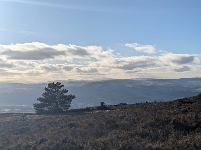
You can just about make out the Jubilee centre at the very top of the photo to the right, looks so much more than a mile away at that point!

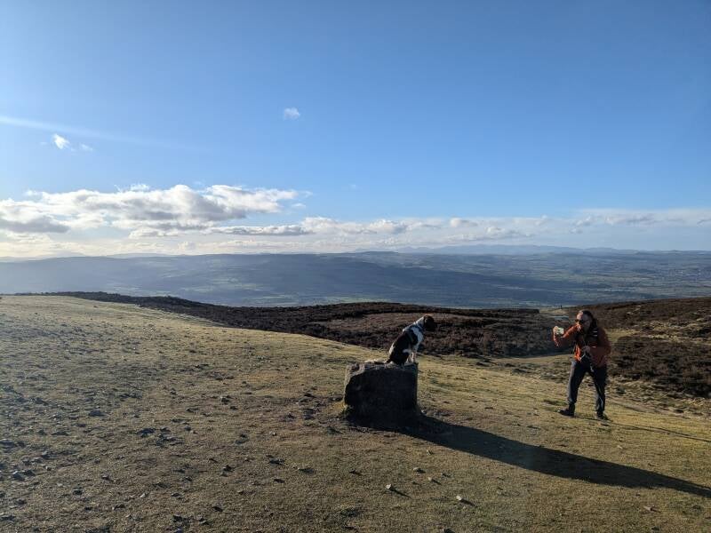
I thought I would share a little information about Moel Famau itself, the name means 'mother mountain' in Welsh, it is the highest summit in the Clywdian range- it is counted as a hill not a mountain (doesn't bode well for my Yr Wyddfa plan!). Moel Famau is 554 metres, 1818 feet high, and sits on the Offa's Dyke path. The area is covered in heather moorland, this is an important habit for rare species of bird. On Moel Famau, it helps to support the black Grouse, which was down to 10 males in the 1990's, and on more recent counts is up to 40 males- it is one of the rarest birds in Wales. It is reported, that if you go up very early in the morning, during Spring, you will see the males gathered around 'lekking' for female attention- it is supposed to be quite a sight. The heather feeds and supports so many species of animal and is protected. You will see rectangular patches where it has been burnt or cut, they do this to encourage new growth and to allow sheep to graze. As with a lot of these places, Moel Famau is a site where farmers have 'the right to graze', so there will often be sheep there at all times of the year, so dogs are asked to be kept on lead. Flora did complain about this, which in turn, led the husband to end up being yanked about on several occasions, as her lead manners are poor- she is a wild spaniel you see.
The Jubilee Centre sits on top of the summit, certainly beats most trigs and cairns! The first foundation stone was laid on the 25th October 1810, it was created for the golden jubilee of King George lll, hence the name Jubilee tower. Thomas Harrison created the final design and it was a grand design. It was completed in 1817, to a less grand design than initially chosen, due to lack of money and poor workmanship apparently. Sadly, by 1846 a corner had collapsed, and more damage was found by 1856 despite money raised for repairs. In 1862 the Obelisk had collapsed, and was reportedly heard all the way in Denbigh Castle when it happened.
In 1969, the Denbigh and Flint branch of Country Landowners Association felt it would be worthwhile to tidy the ruins and prevent further deterioration which would be their contribution to European Conservation Year 1970. In 1974, Clwyd County Council made Moel Famau a Country Park and in 1985 the area became an Area of Outstanding Natural Beauty. The Jubilee tower was given legal protection in 1995 when Cadw listed it due to the architectural and cultural significance of the site.

Such an interesting spot and full of amazing history, as well as stunning views of all around Denbighshire and Flintshire. It was really busy, even as we began to head down and it was getting later in the afternoon, lots of people were still coming up, and just leaving their vehicles when we got back down. I reckon they may have been heading up for sunset, as I can imagine it would be beautiful from up there. The last section up to the tower was so steep, I looked and wondered how I would make it up, but I did, slow and steady, heart pounding! Coming back down was much easier, though I did notice a niggle in my left knee- luckily this has gone away now! But this shows the importance of training up and down hills, both are tough on the body.
Gorgeous views all the way down, took 1 hour 17 minutes to complete the route- only paused map my walk when stopping for Flora to poop a million times, and at the top for a mooch around. Distance was 3.03 miles, felt so hard for such a short distance. There was a trig at the top as well as the Jubilee Centre, so we did touch that too, just to doubly make sure we can bag this Marilyn! First Marilyn of 2025, my fifth one in total, and the hardest so far! Lots of paths going through the heather, looks like it could be a great place to just go wandering around. Also, there are other routes to get to the Jubilee Centre so this may be an option for more exploration in the future.
Add comment
Comments